New Zealand's South Island comprises nearly 60% of the
country's land mass, but less than 40% of Kiwis call it home. It is an absolutely
and breath-takingly beautiful place! In "NZ South Island Part 2"
you will find pictures from the northwestern part of the South Island,
including pictures from the rugged Westcoast region and the beautiful Abel Tasman National
Park.
Check our other South Island pages. In our "NZ South Island
Pt. 1 web page" you will find pictures from the northern part of the South Island,
including the Cook Strait and Kaikoura. In our "NZ South Island Pt. 3 web
page" you will find pictures from the central part of the South Island, including
Christchurch, the Fox and Franz-Josef Glaciers. In our "NZ South Island
Pt. 4 web page" you will find pictures of Fiordland National Park and the Milford
Sound. In our "NZ South Island Pt. 5 web page" you will find pictures from
Dunedin and Queenstown.
NOTE: Please be aware that as a result
of all the pictures, these pages will take a little more time to load than usual, so
please be patient. We believe that you will find the wait worth your while because
the scenery "Down Under" is simply incredible! We hope you enjoy this
cyber-trip.

To go directly to a particular section on this page, simply "click"
on the location below:
- Westcoast region: Greymouth,
Shantytown, and Pancake Rocks
- Abel Tasman National Park:
Tropical-looking National Park on Tasman Sea
Westcoast Region
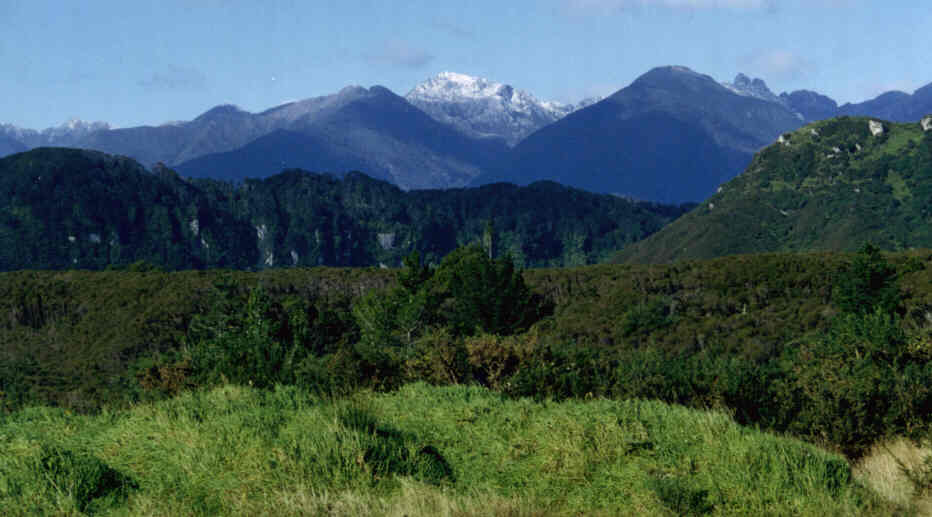
Beautiful Westcoast scenery in Northwestern part of New Zealand's
picturesque South Island.
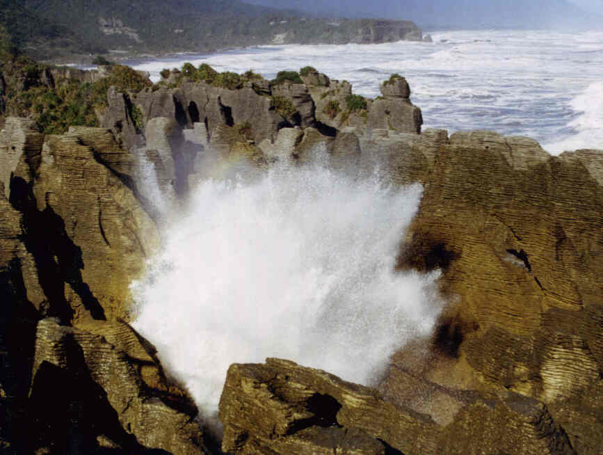
Tasman Sea waves crashing in Pancake Rocks.
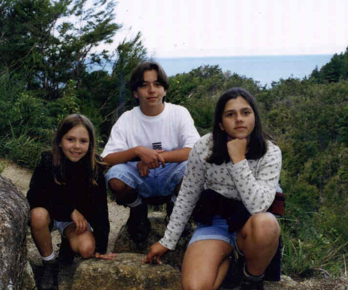
Abel Tasman National Park
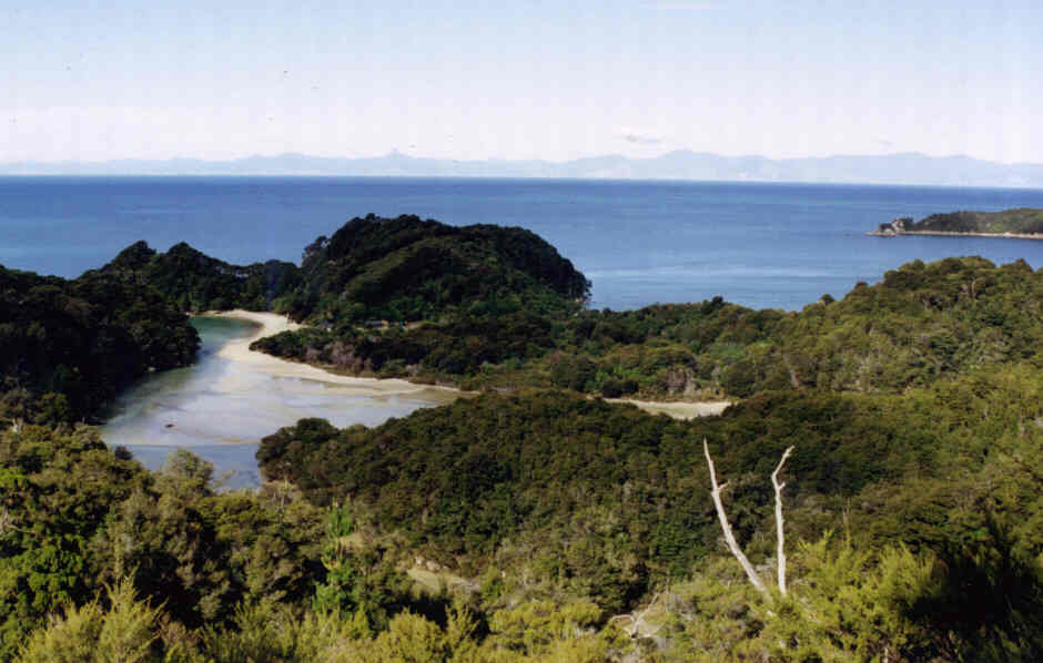
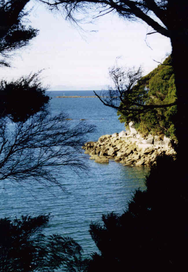
Breath-taking views from tramping trails in Abel Tasman National Park.
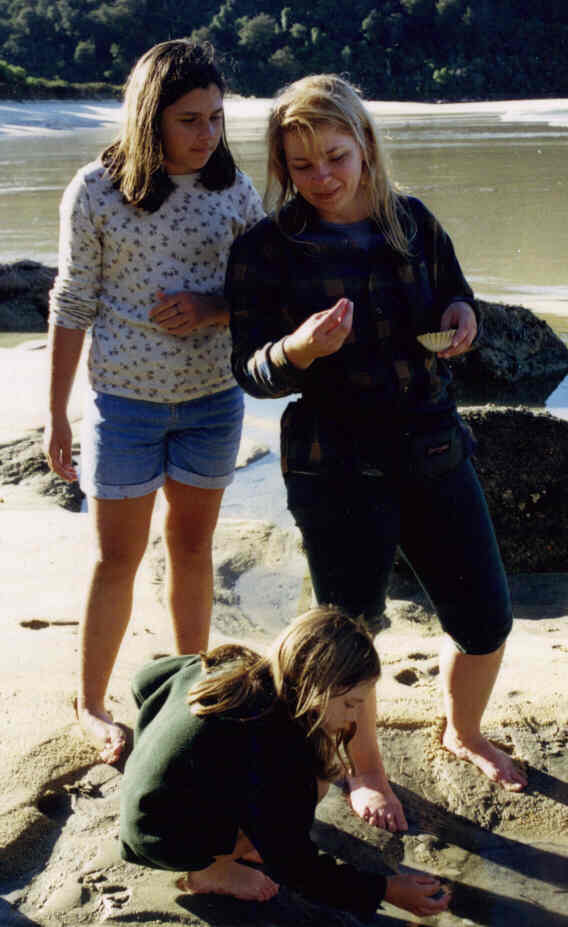
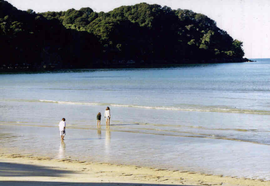
The DenhamiteKiwis Family exploring Bark's Bay in Abel Tasman National
Park.
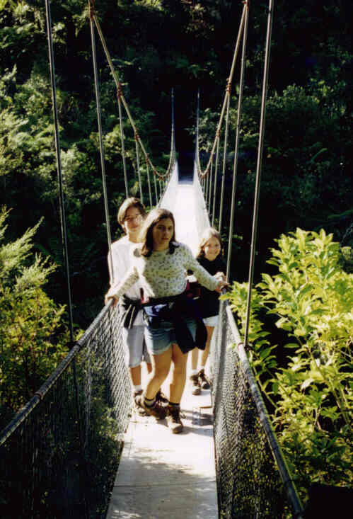
DenhamiteKiwis Kids at Abel Tasman trail (Left) and on Swinging
Bridge (Right).
Go to: First
Version of the DenhamiteKiwis Family Home Page (Geocities)
You can e-mail us at: Denhamitekiwis@geocities.com